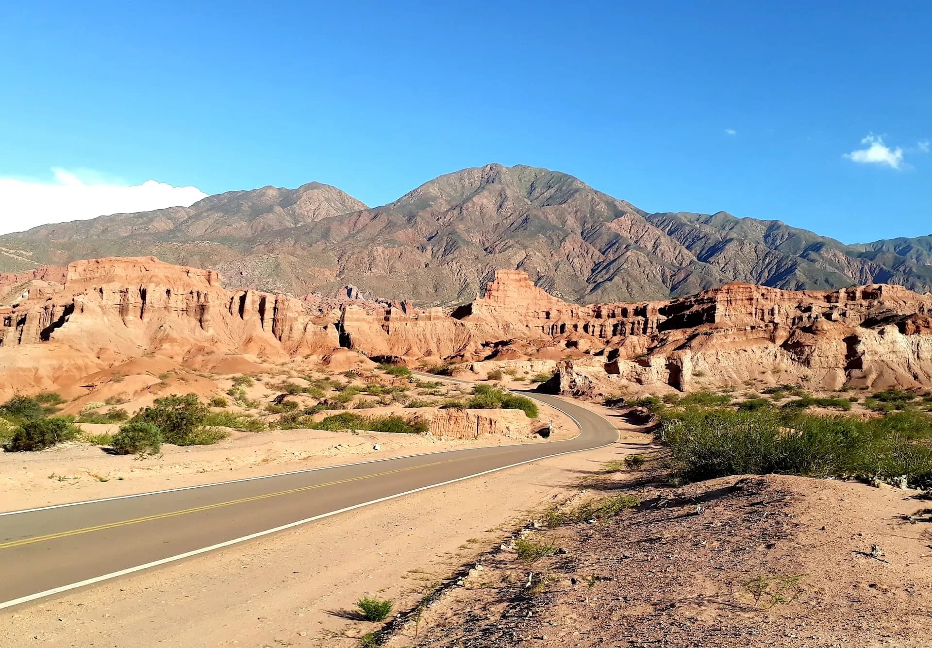
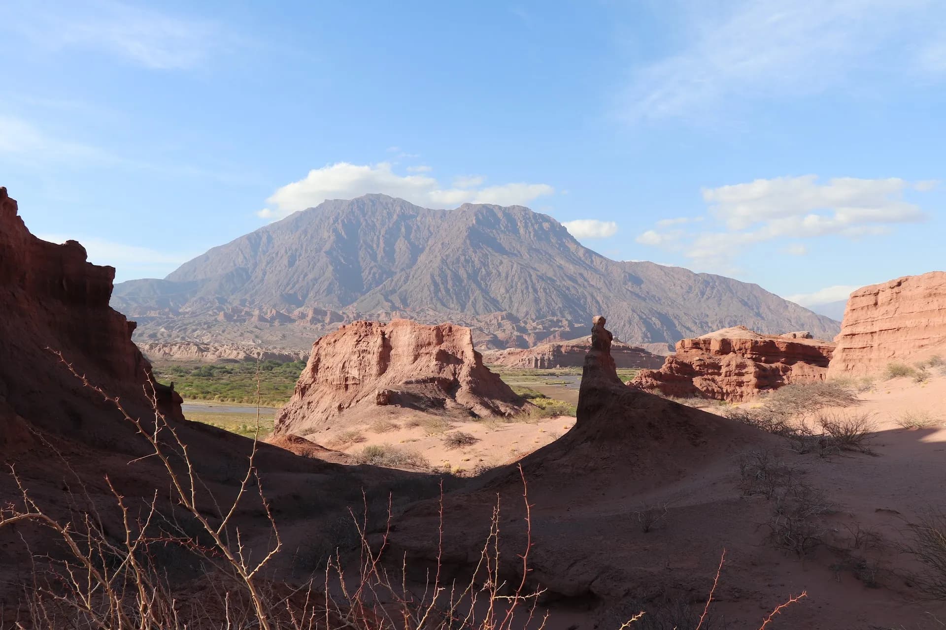
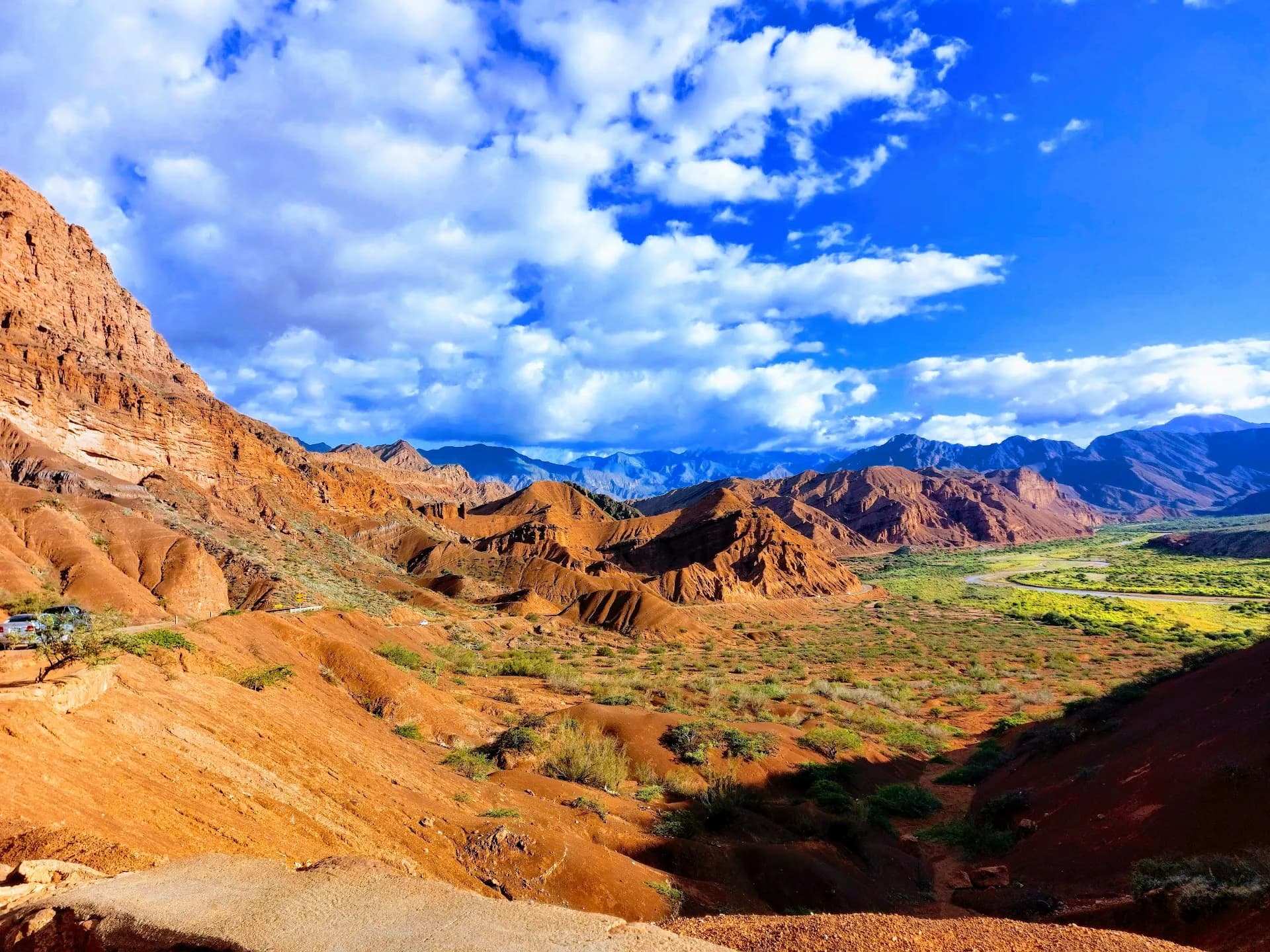
The Quebrada de las Conchas is a canyon carved by wind and the Río de las Conchas along Ruta Nacional 68, the road connecting Cafayate to Salta - roughly 190 km and 3 to 3.5 hours end to end. Millions of years of erosion have shaped the red sandstone into towers, windows, spires and amphitheatres, and the drive is treated by most visitors as a destination in its own right, not just a way to get between two towns. This list runs the stops in order of distance from Cafayate, heading toward Salta, so you can plan how far to go before turning back - many people drive as far as the Mirador Tres Cruces viewpoint and return, rather than continuing all the way to Salta. Whether you're self-driving, hiring a remise for the day, or joining a group tour, pack water and snacks: there is nowhere to buy food along this stretch of road.
Driving the Quebrada de las Conchas
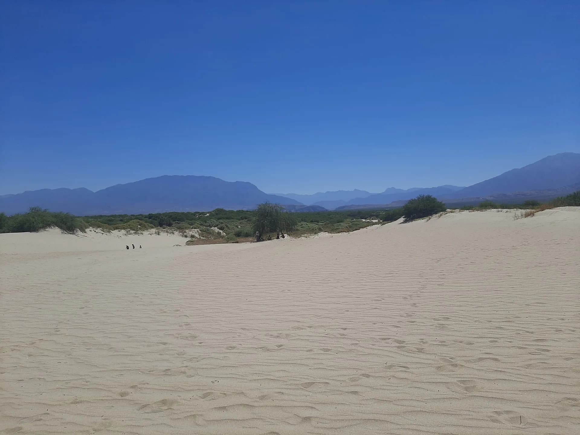
Los Médanos de Cafayate
The first stop out of town, about 7-8 km along Route 68: pale, wind-sculpted sand dunes rising out of the valley floor, good for a quick scramble or sandboarding before the rock formations begin.
Los Colorados
An easy, roughly two-hour round-trip walk (about 16 km from town) through a canyon of vivid red sandstone cliffs and wind-carved rock galleries - a quieter alternative to the bigger-name stops further on.
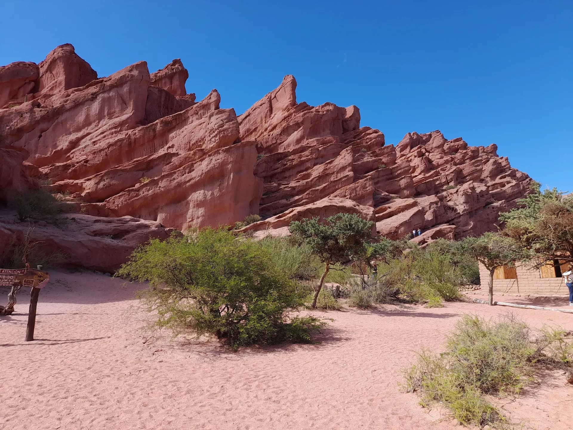
Los Castillos
About 18.5 km from Cafayate, towering red sandstone towers eroded into castle-like turrets rise beside the highway, with a short path down to the riverbank for a closer look.
Las Ventanas
One of the most photographed stops on the drive: wind has bored a row of window-like openings straight through a cliff face above the Río Calchaquí, in a gorge that was once an ancient seabed.
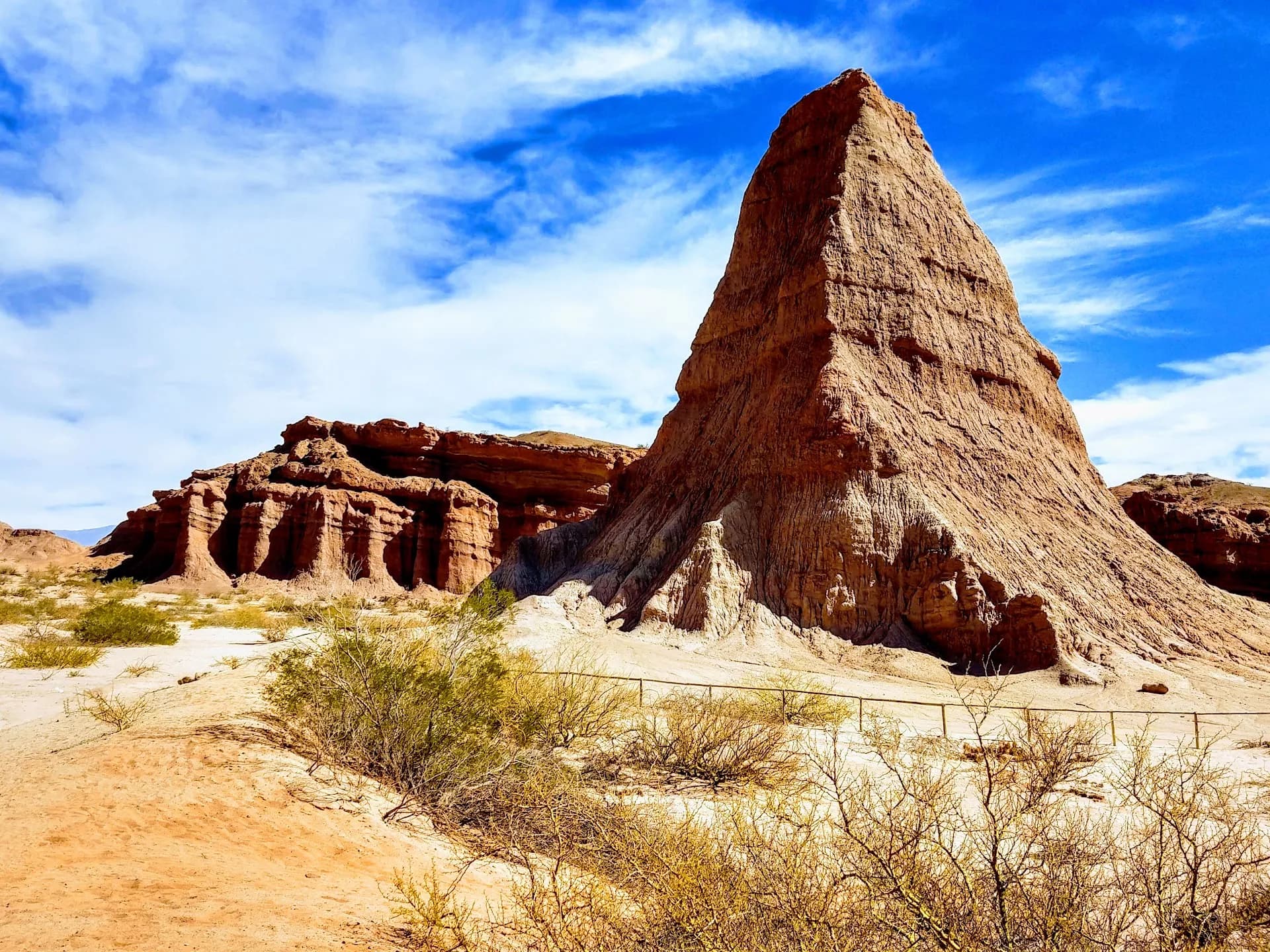
El Obelisco
A slender, roughly 26-metre rock spire estimated at around 20 million years old, standing right beside the road - a near-mandatory quick photo stop.
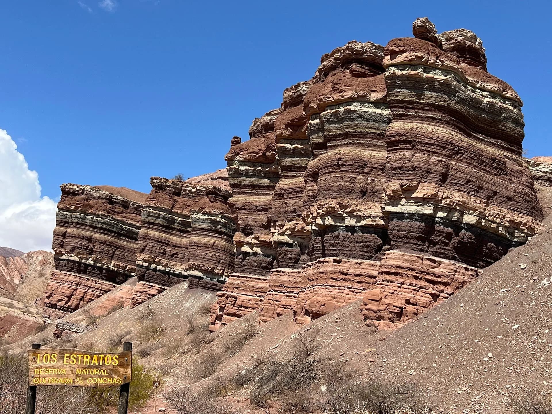
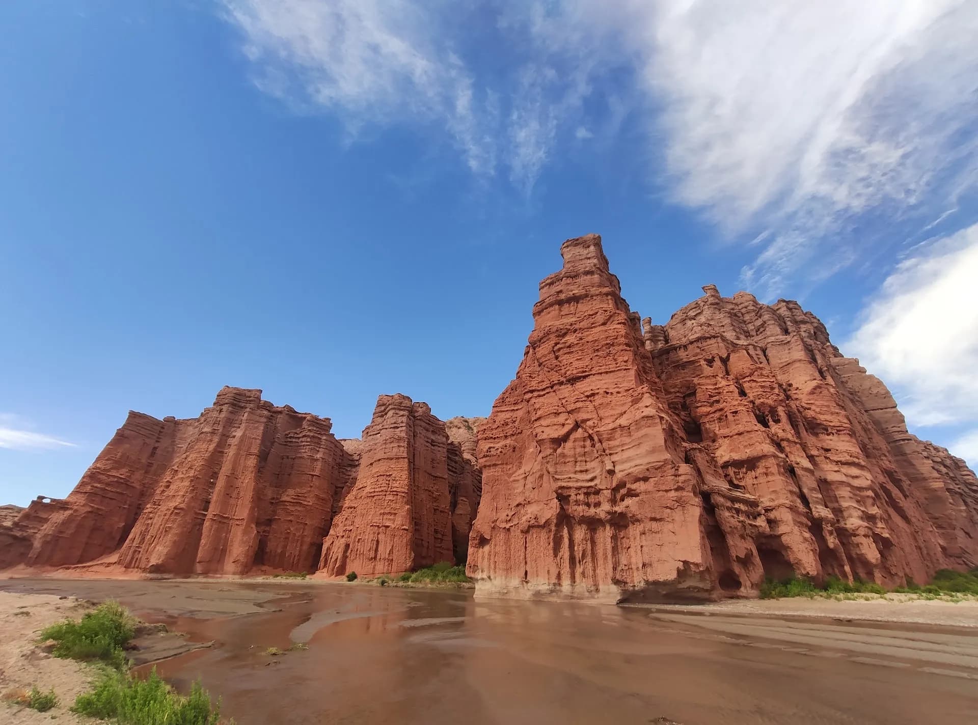
La Yesera
A former gypsum quarry turned colorful lookout, with hillsides banded in red, white and ochre. A free, unmarked path (the Sendero de los Estratos) leads out among the striated hills for a quieter view.
El Fraile
A solitary rock pillar that resembles a hooded friar standing apart from the cliff face - genuinely easy to miss without the interpretive signage marking it.
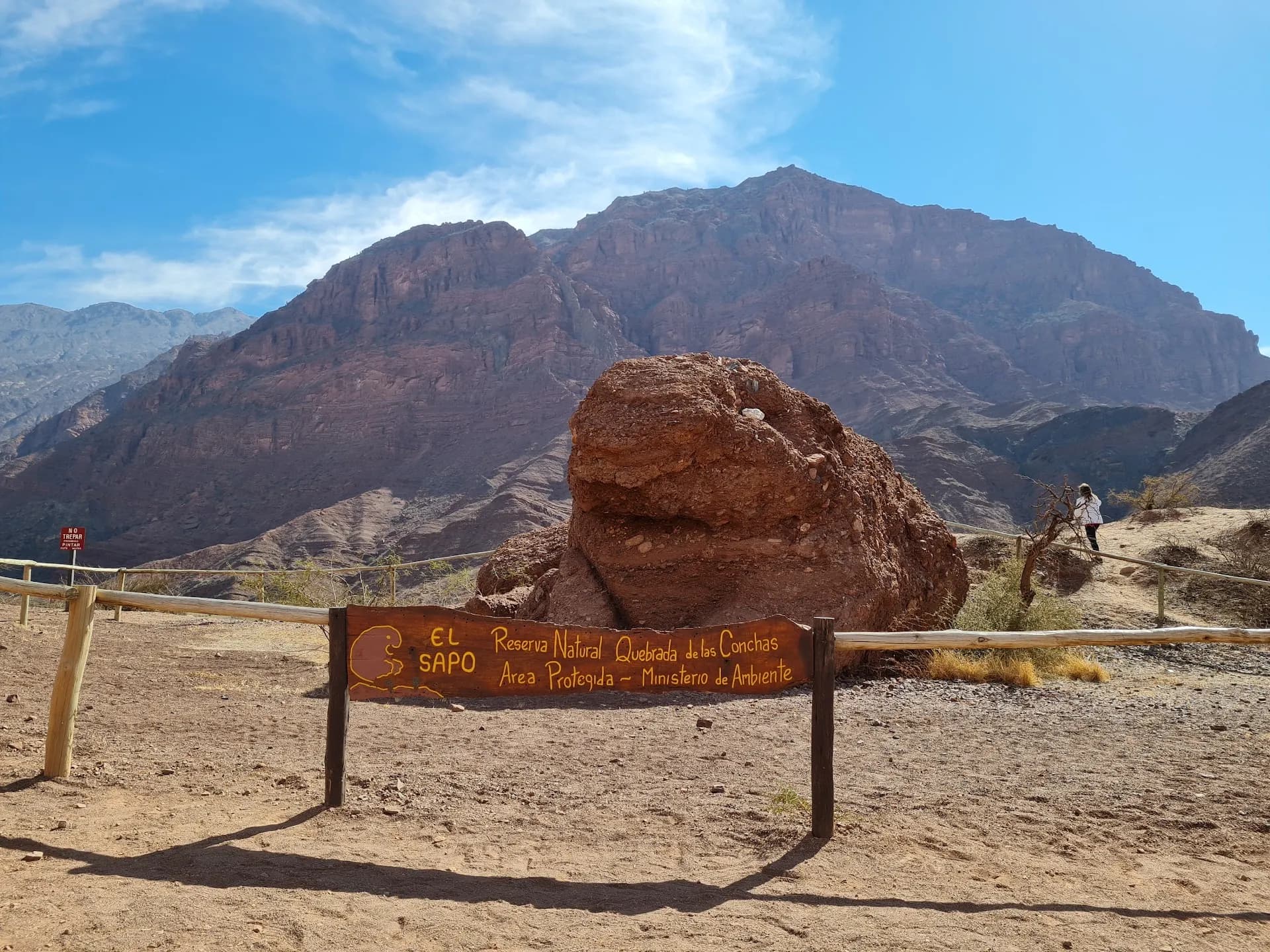
El Sapo
Wind erosion has carved this roadside boulder into the unmistakable silhouette of a giant toad - one of the easiest, most family-friendly photo stops on the whole drive.
Mirador Tres Cruces
The furthest and best of the viewpoints: a short stone stairway climbs to what's widely rated the single best 180-degree panorama of the canyon, and the top sunset stop on the Cafayate-to-Salta drive.
FAQ
- Can you do the Quebrada de las Conchas drive without a car?
- It's much easier with one. There's no public transit that stops at these formations, so most visitors either self-drive, hire a remise/driver for the day, or join a group tour from Cafayate or Salta that covers the same stops.
- Is it a one-way trip to Salta or a round trip from Cafayate?
- Both are common. If Salta is your next stop, you can drive the whole gorge one-way and continue on. If you're based in Cafayate, most people drive partway - often as far as Mirador Tres Cruces - and turn back for the night.
- How long does the full drive take?
- The direct drive between Cafayate and Salta on Ruta 68 takes roughly 3 to 3.5 hours without stops. Add half a day if you want to properly stop at the main formations, which is how most visitors do it.
- Is the road through the Quebrada de las Conchas paved and safe?
- Yes, Ruta Nacional 68 is a paved, well-maintained highway for its full length between Cafayate and Salta, which is what makes this such a popular self-drive route compared to the rougher Ruta 40 toward Cachi.
Make it your trip
Save these places and build your own Cafayate itinerary in TripBox.